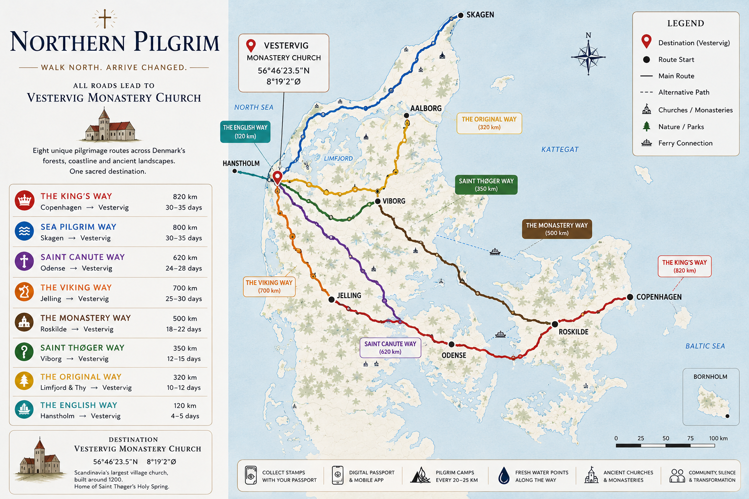
820 km
30–35 days
The King's Way
Copenhagen → Vestervig
The flagship of the network — from the royal capital across Zealand, Funen and Jutland to the monastery in Thy. A full month of walking through every face of Denmark.
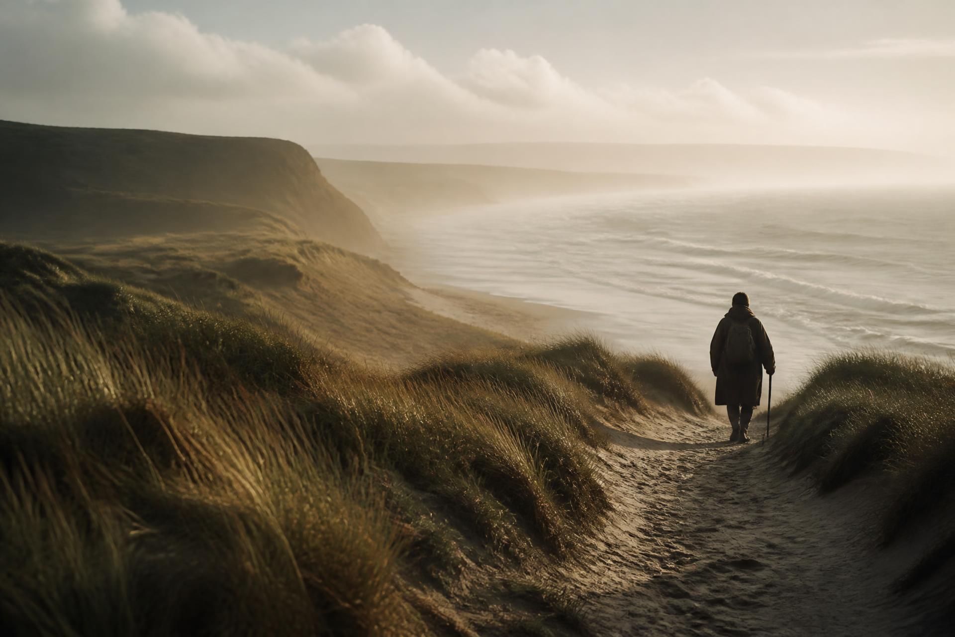
Eight pilgrim ways across Denmark, ranging from a four-day coastal walk to a full month of traversing the country. Choose your route by distance, geography, or the spirit of the journey.
From Copenhagen to Skagen, from Odense to Hanstholm — every route leads north to Vestervig Monastery Church in Thy.
820 km
30–35 days
Copenhagen → Vestervig
The flagship of the network — from the royal capital across Zealand, Funen and Jutland to the monastery in Thy. A full month of walking through every face of Denmark.
800 km
30–35 days
Skagen → Vestervig
Salt air, marram grass, and the constant company of the North Sea. The most exposed and most unforgettable of the routes.
620 km
24–28 days
Odense → Vestervig
Beginning at the shrine of Saint Canute in Odense, this route honours the medieval cult of Danish saints, ending at Vestervig.
700 km
25–30 days
Jelling → Vestervig
From the rune stones of Jelling — the birth certificate of Denmark — north through forests and heath to the Christian monastery of Vestervig.
500 km
18–22 days
Roskilde → Vestervig
Linking the great cathedral of Roskilde with abbey ruins, village churches and finally Vestervig — a journey through 1,000 years of Danish faith.
350 km
12–15 days
Viborg → Vestervig
Following the imagined footsteps of Saint Thøger himself — through Viborg's medieval streets, across the Limfjord, and onto the Thy peninsula.
320 km
10–12 days
Limfjord & Thy → Vestervig
Designed for first-time pilgrims and those with limited time. Wild, beautiful, and unmistakably Northern.
120 km
4–5 days
Hanstholm → Vestervig
The shortest official route. Step off the ferry in Hanstholm and walk the final stretch into Vestervig — a perfect introduction to the pilgrimage.
Interactive map · coming soon
The route map will include colour-coded paths, stage distances, pilgrim camps, churches, water points, food stops, GPX downloads and emergency information.